
For all navigators using electronic (ECDIS) nautical charts specified by the International Hydrographic Organization (IHO)
Nautical Electronic Chart Symbols ECDIS is an app that provides quick reference to the “INT 1” symbols specified by the International Hydrographic Organization (IHO). It is ideal both for navigators who use electronic charts and also for training purposes.
Features and benefits:
- Perfect for reference, learning & revision
- Hi-res graphics
- Tap & Enlarge feature for greater detail
- Fully searchable index to all the symbols
- Always with you on your mobile device
- No internet connection needed


![]()
![]()
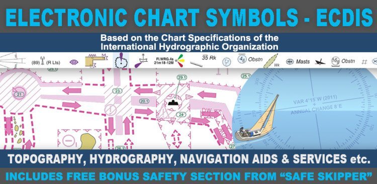
There are five main sections in this app, each with lettered sub-sections organized into categories to guide users through the hundreds of symbols. The main sections are:
GENERAL – chart layouts, positions, distances, directions and compass.
TOPOGRAPHY – landmarks, ports and coastal land features.
HYDROGRAPHY – tides, currents, depths, nature of the seabed, underwater obstructions, tracks, areas, limits and hydrographic terms.
NAVIGATION AIDS & SERVICES – lights, buoys, fog signals, radar, radio, services and small craft facilities.
INDEX & ABBREVIATIONS – international abbreviations and index to symbols and abbreviations.
Electronic Chart Symbols ECDIS is based on the United Kingdom Hydrographic Office’s print publication “Chart 5011 (INT 1) EDITION 2” Admiralty Charts Publication and “Chart No.1 United States of America Nautical Chart Symbols, Abbreviations and Terms”.
Bonus Content from “Safe Skipper”:
A free bonus section has tips on how to deal with emergencies including: Abandon ship; Dismasting; Distress Signals; Engine Failure; Fire Fighting; Flares; Getting a tow; Helicopter rescue; Holed hull; Man overboard; Medical emergency; Mayday; Panpan; Securité.
Paper Chart Symbols:
ECDIS symbols used to display Electronic Navigational Chart (ENC) data on Electronic Chart Display and Information Systems (ECDIS) differ from those used on paper charts. We have produced another app Chart Symbols & Abbreviations that explains these symbols in detail. More…
![]()
![]()

Download from Google Play
Download from Google Play
Download from Google Play
 Download from iTunes
Download from Google Play
 Download from iTunes
Download from Google Play
 Download from iTunes
Download from Google Play
 Download from iTunes
Download from Google Play
 Download from iTunes
Download from Google Play