

ColRegs Complete Collection includes:
- ColRegs: Nav Lights & Shapes
- ColRegs: Rules of the Road
- IALA Buoys & Lights
Three Essential Navigation Apps for Skippers and Crew Worldwide
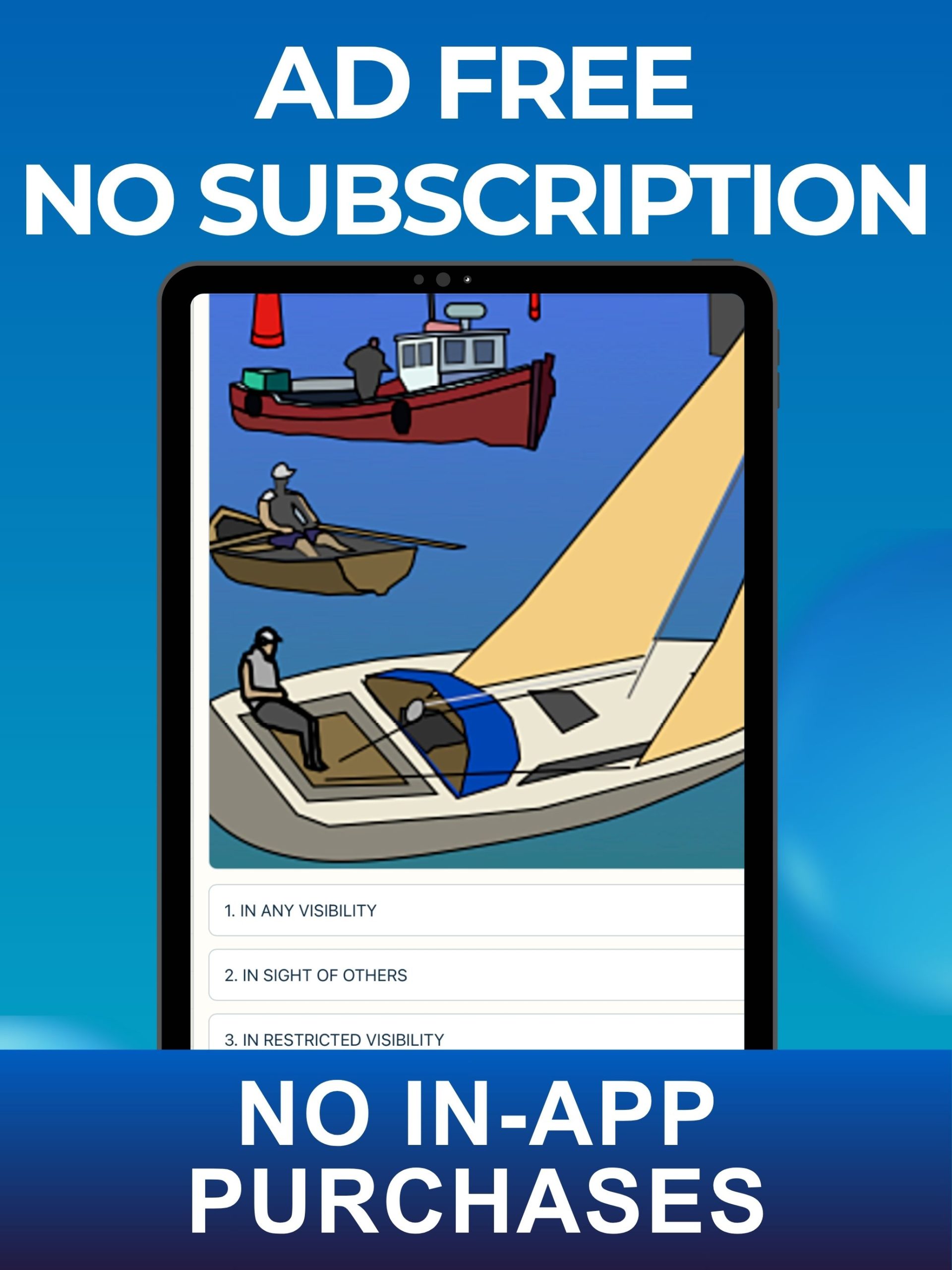
The ColRegs Complete Collection brings together three highly visual reference, learning and revision apps for skippers and crew of sailboats, powerboats, fishing boats and commercial vessels.
The collection helps you recognise vessels and understand their activities, interpret navigation lights and day shapes, apply the nautical Rules of the Road and identify IALA buoys, marks and lights.
Whether you are learning or revising ashore, preparing for a boating qualification or looking for essential information while afloat, simply open the appropriate app and find clear illustrations, explanations, rules and definitions in seconds.
FEATURES & BENEFITS:
- Three complementary navigation apps in one collection
- Easy-reference learning and revision tools
- Hundreds of specially produced explanatory graphics
- Clear, concise descriptions of the rules
- Covers navigation lights, day shapes and collision-avoidance rules
- Covers sound, light and distress signals
- Explains IALA buoyage systems A and B
- Researched and produced by nautical and marine experts for accuracy
- Positively evaluated by professional navigators for reliability
- Interactive “Test Yourself” sections
- Simple, easy-to-use navigation for quick reference
- No internet connection required
- Especially useful for Day Skipper, Coastal Skipper, Yachtmaster and similar boating courses
** ALL THREE APPS HAVE BEEN RECENTLY UPDATED **
WHAT’S NEW IN THESE VERSIONS
Download now from the app store:

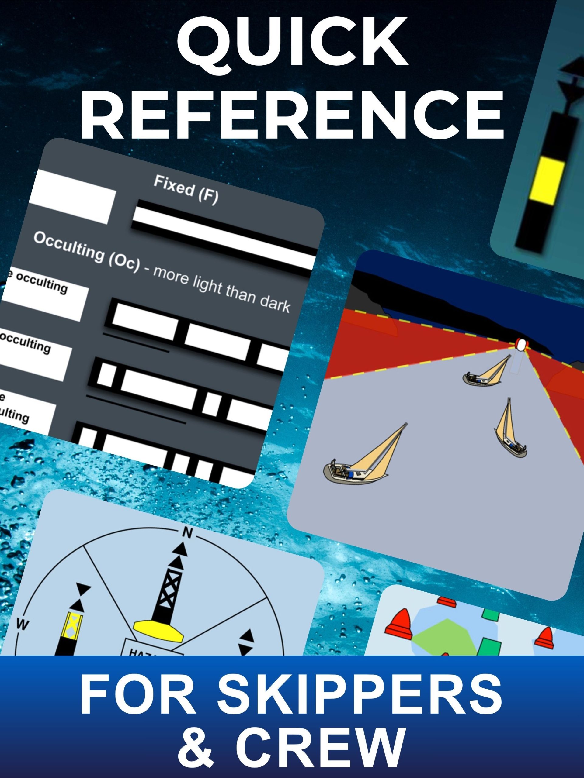
The Collection Includes Three Apps:
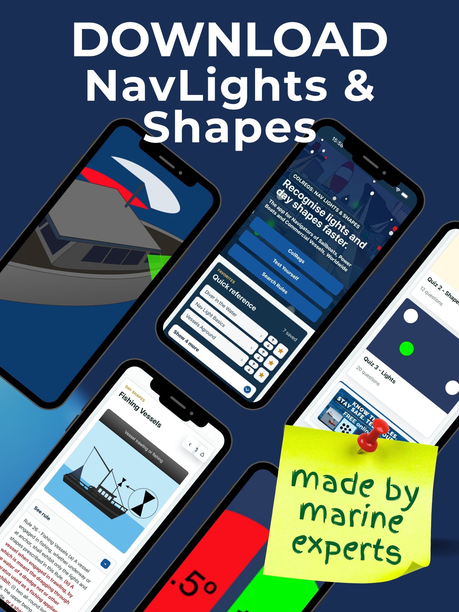
1. ColRegs: Nav Lights & Shapes
A quick-reference guide to Part C: “Lights and Shapes” (Rules 20–31) of the International Regulations for Preventing Collisions at Sea (IRPCS), or ColRegs.
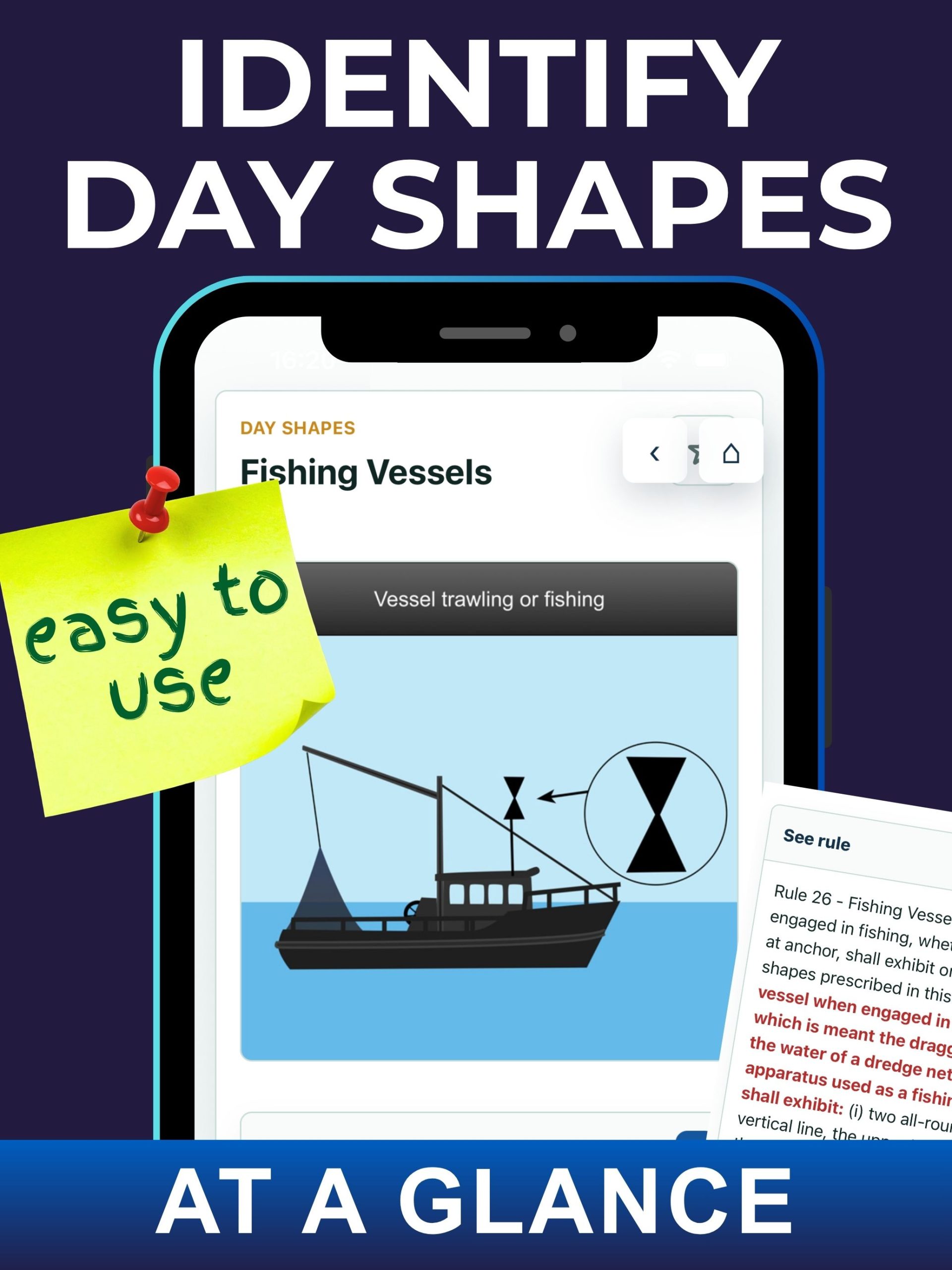
The app helps skippers and crew identify vessels in their vicinity and understand the activities they are engaged in. It includes:
- Navigation lights displayed by different vessels at night or in poor visibility
- Day shapes displayed by vessels during daylight
- More than 100 specially produced graphics with clear descriptions
- Part C of the ColRegs reproduced in full
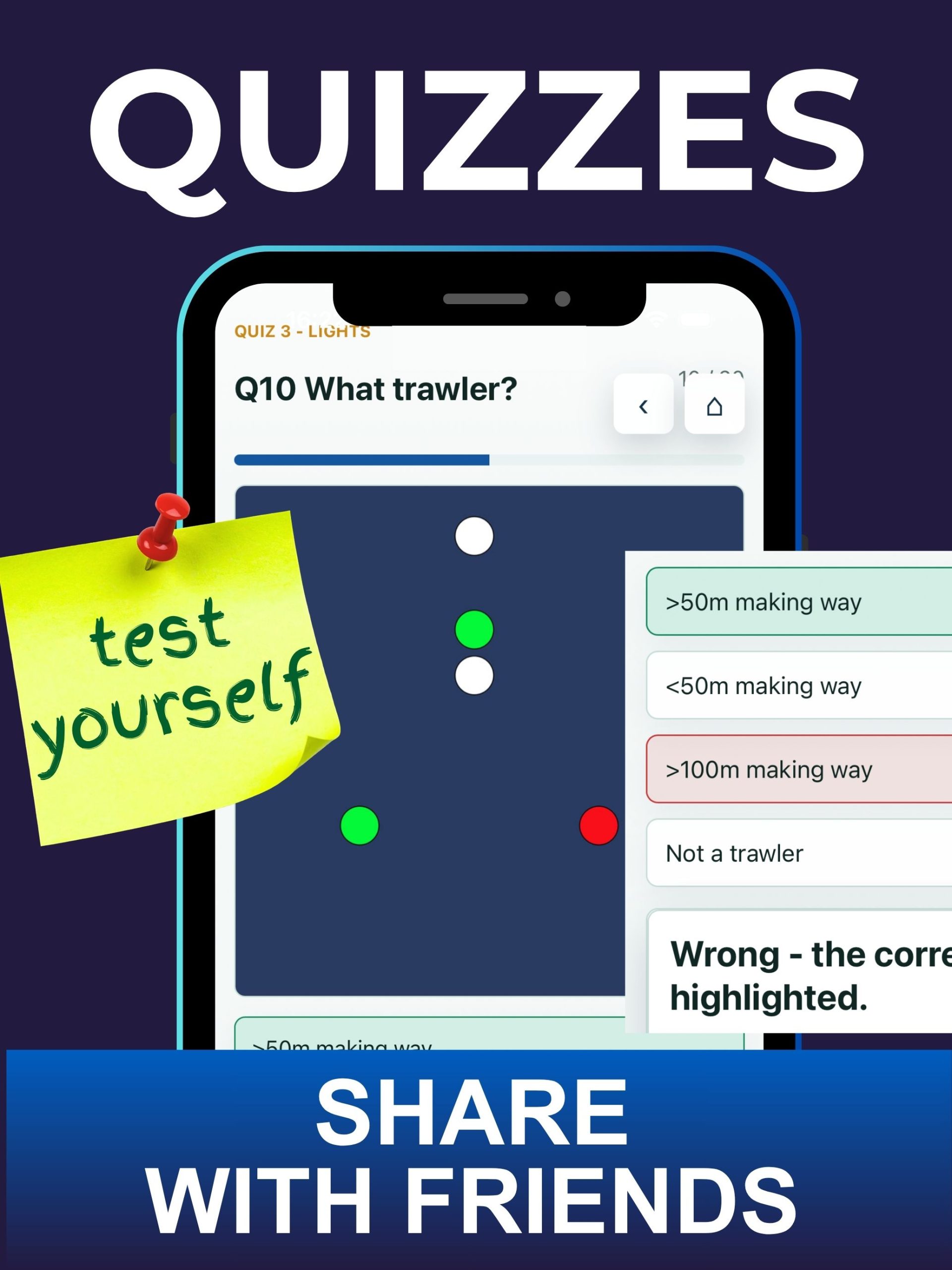
- Multiple-choice quizzes to test your knowledge
Use the illustrations to identify a vessel, its aspect and its activity, then read the relevant ColRegs rule beneath the graphic for a detailed explanation.
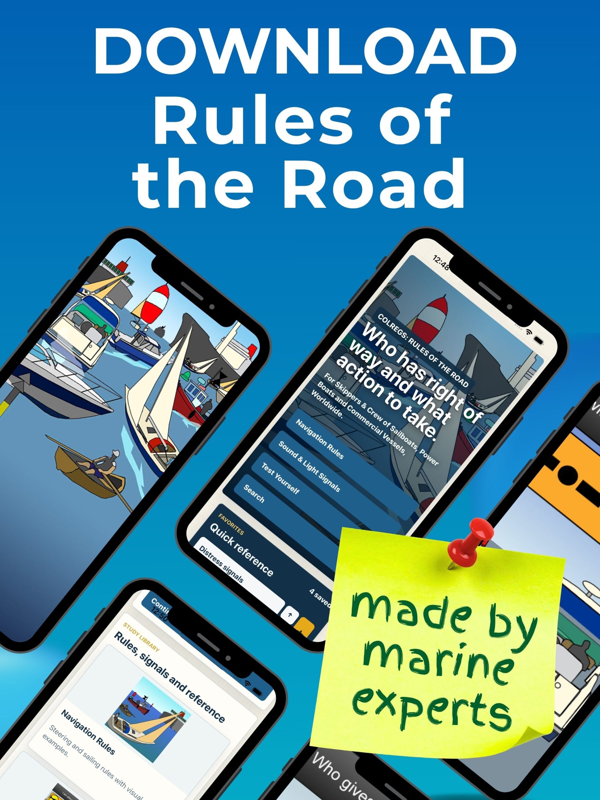
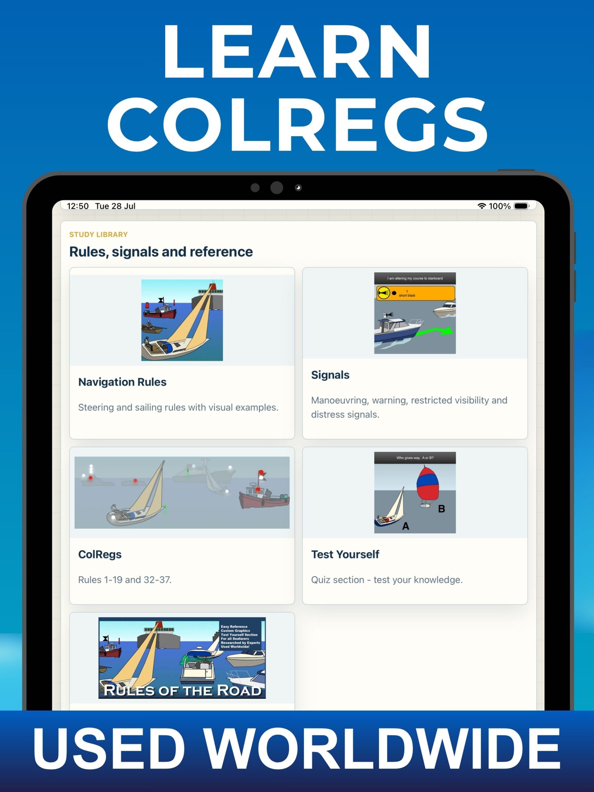
2. ColRegs: Rules of the Road
A fully illustrated guide to the Steering and Sailing Rules, Sound and Light Signals and Distress Signals contained in the ColRegs.
The app helps you interpret what other vessels are doing, determine which vessel should take action and understand how to prevent a possible collision. It includes:
- Steering and Sailing Rules 4–19
- Sound and Light Signals contained in Rules 32–37
- Distress Signals from Annex IV
- More than 100 explanatory graphics
- The relevant ColRegs rules reproduced in full
- Multiple-choice questions with graphic representations of the rules
Clear illustrations and concise captions make the rules easier to understand, learn and recall.
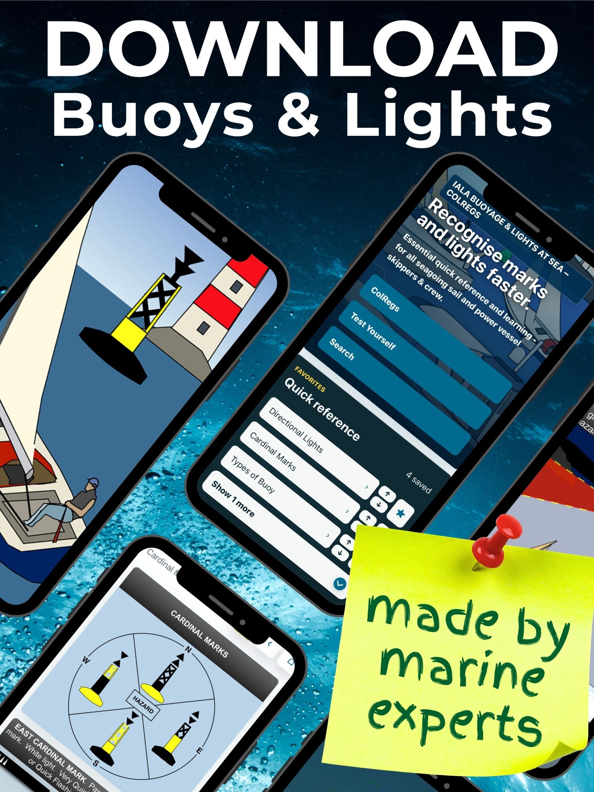
3. IALA Buoys & Lights
A visual reference guide to the navigation marks, buoys, beacons and lights used in the International Association of Marine Aids to Navigation and Lighthouse Authorities systems.
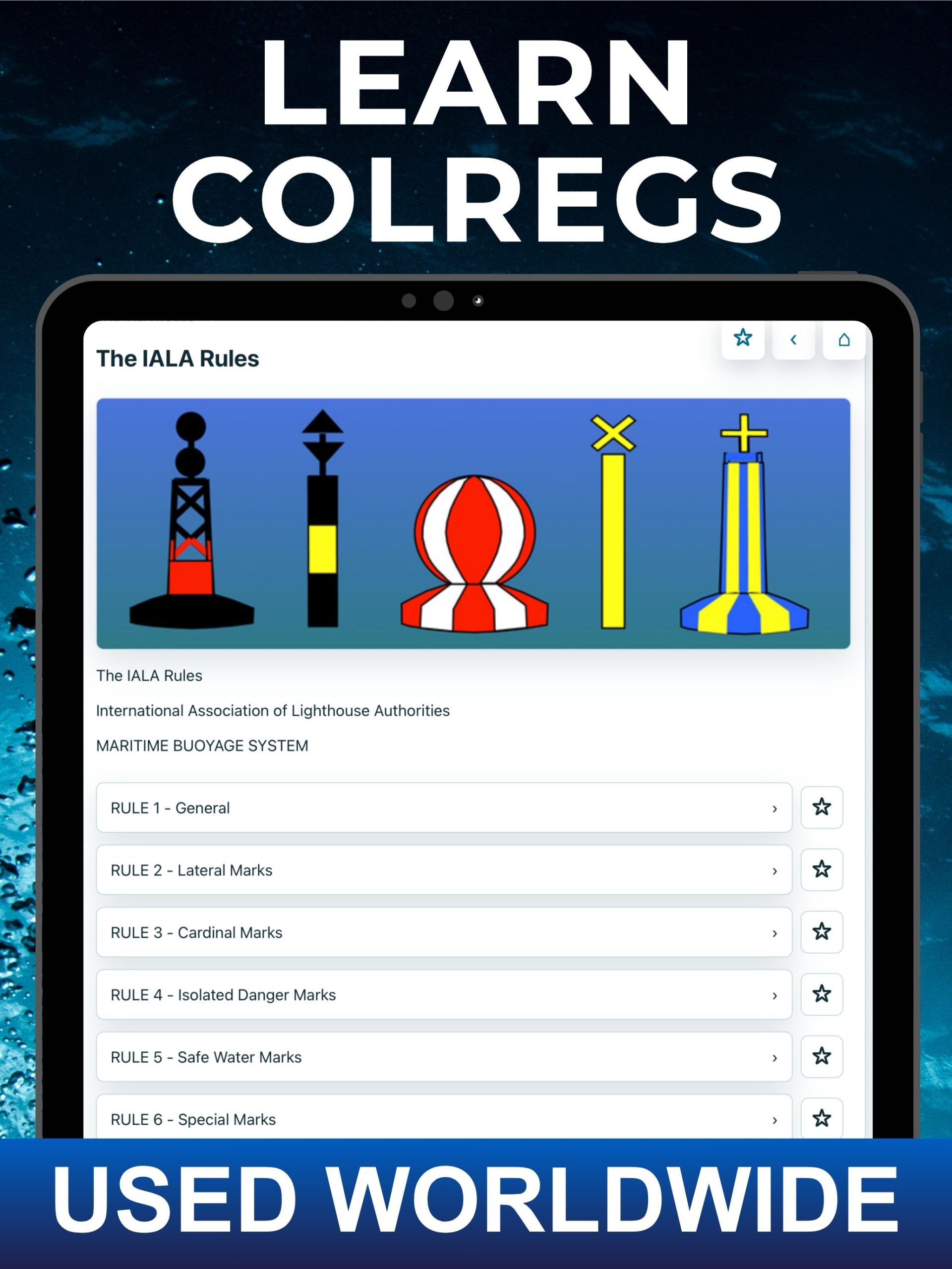
The app explains both IALA system A and IALA system B, helping recreational and professional seafarers recognise different navigation marks by day or night and understand what they mean. It includes:
- A graphic buoyage reference guide with 70 illustrations and captions
- Lateral, cardinal, isolated-danger, safe-water and special marks
- Twelve illustrations explaining different lights and their characteristics
- IALA buoyage rules and definitions
- Both IALA A and IALA B systems
- Multiple-choice questions with 35 graphic representations of buoys and lights
Expertly drawn illustrations are accompanied by clear descriptions explaining the appearance, purpose and light characteristics of each mark.
An Essential Collection for Learning and Reference
Anyone responsible for a vessel must be able to recognise the vessels, lights, shapes and navigation marks around them, whatever the visibility.
They also need to understand which vessels have priority, what action should be taken to avoid a collision and how buoys and lights indicate safe water, channels and hazards.
The ColRegs Complete Collection provides a practical visual learning system that you can use:
- As a quick-reference guide
- As a learning and revision tool
- As a visual aide-memoire
- When preparing for boating courses and examinations
- To test and improve your knowledge
- To keep essential navigation information available on your phone or tablet
Reviews by Users of These Apps:
“Very easy to use, wish I’d had this when I was doing Day Skipper!”
“We run a training centre and these apps are a great aide-memoire for our students.”
“A brilliant training and reference device.”
“Excellent graphics, really first-class clean design and accurate information.”
“Beautifully produced and very simple to use, a cool learning tool.”
“Good app for anyone to use, especially when you are training for Boatmaster, Yachtmaster etc. Much easier than flip cards.”
“The graphics are excellent and I think this will be really useful while out at sea or at home for revision purposes.”
“The graphics are clear and well done, and the information is great to carry with me.”
Download the Colregs Complete Collection now from the app store:
 Download from iTunes
Download from Google Play
 Download from iTunes
Download from Google Play
 Download from iTunes
Download from Google Play
 Download from iTunes
Download from Google Play
 Download from iTunes
Download from Google Play
 Download from iTunes
Download from Google Play
 Download from iTunes
Download from Google Play
 Download from iTunes
Download from Google Play

This content isn't available right now
When this happens, it's usually because the owner only shared it with a small group of people, changed who can see it or it's been deleted.
